A Decade-Long Diagnosis for Earth’s Ice Sheets in Climate Change Report
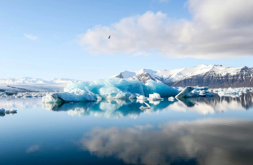
The vast ice sheets of Greenland and Antarctica are often pictured as static, frozen monuments. In reality, they are dynamic, flowing entities, and a new study has just provided an unprecedented look at their motion. The research, published in Remote Sensing of Environment, effectively creates a decade-long “ice speed report” for these planetary giants.
A Chilling Report on Moving Ice
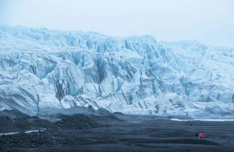
This report is not just academic; it is a crucial tool for modeling sea-level rise and understanding the broader mechanics of a warming world. Before 2014, scientists had a far more difficult job measuring how glaciers moved. They worked in person, enduring the extreme cold and dangerous conditions of the polar regions. Stakes were drilled into the ice by hand, so their gradual shift could be tracked over months and years.
Teams excavated countless snow pits and pulled up long cores of ice to judge the health of the frozen terrain. It was a slow, physical, and often perilous process. That entire process was transformed by the 2014 launch of the Copernicus Sentinel-1 satellite mission. With a constant, orbiting eye now fixed on the poles, the field of glaciology was fundamentally changed.
The Big Thaw’s Official Pace Car
Its synthetic aperture radar instrument made the breakthrough possible. Unlike cameras needing light, this radar penetrates cloud cover and operates through the dark polar winter, capturing detailed imagery every six to twelve days. Each crevasse and ripple can be tracked, letting scientists assemble stop-motion animations of ice flow.
Intricate velocity maps and mosaics are generated in ground control centers from this data, revealing ice sheets not as static slabs, but as slow-moving rivers. For this study, a ten-year archive of this satellite data was exploited. The resulting continuous, high-resolution record is a first of its kind. New velocity maps reveal a narrative of contrasting motion, from glacial drifts to rapid surges.
Researchers documented ice creeping along as slowly as three feet daily in certain regions. Conversely, places like Greenland’s Jakobshavn Glacier recorded staggering movement up to 164 feet in a single day. A clear trend of acceleration was also noted in West Antarctica’s Pine Island Glacier across the study period.
Ice Flow Data Is Shockingly Fluid
Those detailed speed maps have proven invaluable. Interannual changes and long-term trends come into focus through these detailed speed maps, which also highlight vulnerabilities like destabilizing ice shelves and calving cycles. This essential data is required to predict how these frozen systems will respond to ongoing warming. Close observation is demanded by the rapid changes being witnessed, the mission manager noted, particularly as record-breaking heat grips the Arctic.
This regional instability is directly linked to the global process of climate change, making such continuous monitoring more critical than ever. Profound implications for global sea levels and ocean currents are contained within this accelerated flow. Coastal impact forecasts can now be refined using the hard numbers provided by the research.
A vague concern about melting has been transformed, in many ways, into a precise measurement of motion by the satellite, directly contributing to a better grasp of climate change dynamics. That shift from qualitative worry to quantitative data marks a significant advancement in earth science. Data will keep streaming in for analysis, promising deeper insights into complex feedback loops that could either hasten or delay ice loss.
When Satellites Replaced Snow Pits
Such persistent surveillance serves as a planetary early-warning system. A detailed grasp of ice sheet dynamics forms the essential foundation for any practical strategy to adapt to climate change’s effects. For policymakers and scientists, the value of this unbroken satellite record simply cannot be overstated. An abstract concept—distant, melting ice—is thereby transformed into a meticulously charted reality.
That silent, creeping flow from Earth’s frozen giants is now tracked with a clarity unimaginable ten years ago. This work represents a fundamental shift in grasping the glacial melt crisis. Critical baseline data for measuring all future changes is now established, directly informing global strategies for climate change adaptation.
The Great Ice Sheet Slow Dash
Long-term trends revealed here help separate natural variability from human-driven shifts. More than maps, these ice speed reports provide a vital diagnosis of planetary health. Hope exists that such precise knowledge will lead to more informed and effective global responses. A continuous data stream from space ensures the fate of the ice sheets will be watched. A continuous data stream from orbit now guarantees these ice sheets will be tracked with unwavering clarity.